Mineral exploration in Morocco is a crucial activity in the country’s mining sector, which has a diversity of mineral resources such as phosphates, base metals (“Pb”, “Zn”, “Cu”), precious metals (“Ag”, “Au”), as well as other metallic and non-metallic minerals. The key aspects of this exploration include the search for new deposits, the evaluation of existing reserves, and the use of advanced geological techniques such as geological mapping, geochemistry, geophysics, and topographic surveys.
The state strictly regulates mining exploration to ensure responsible exploitation of resources and minimize environmental impacts. The country is striving to integrate innovative
technologies, including remote sensing and computer modeling, into the exploration process.
Mining exploration makes a significant contribution to the national economy, providing essential raw materials for various industrial sectors. It also plays a crucial role in job creation and the development of the regions where these activities are carried out.
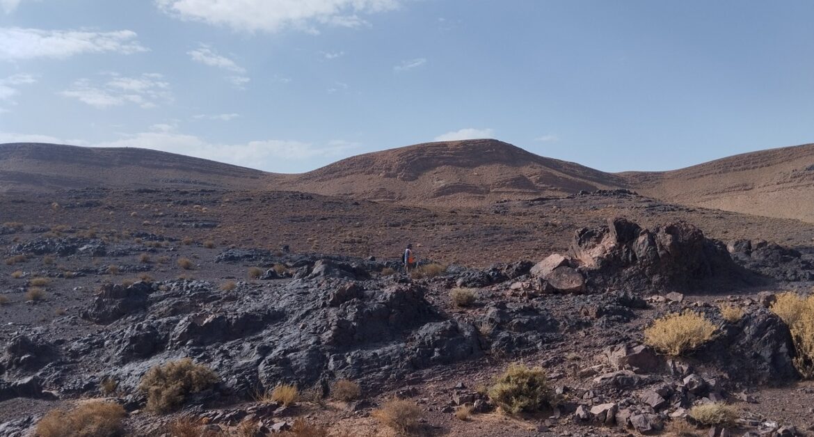
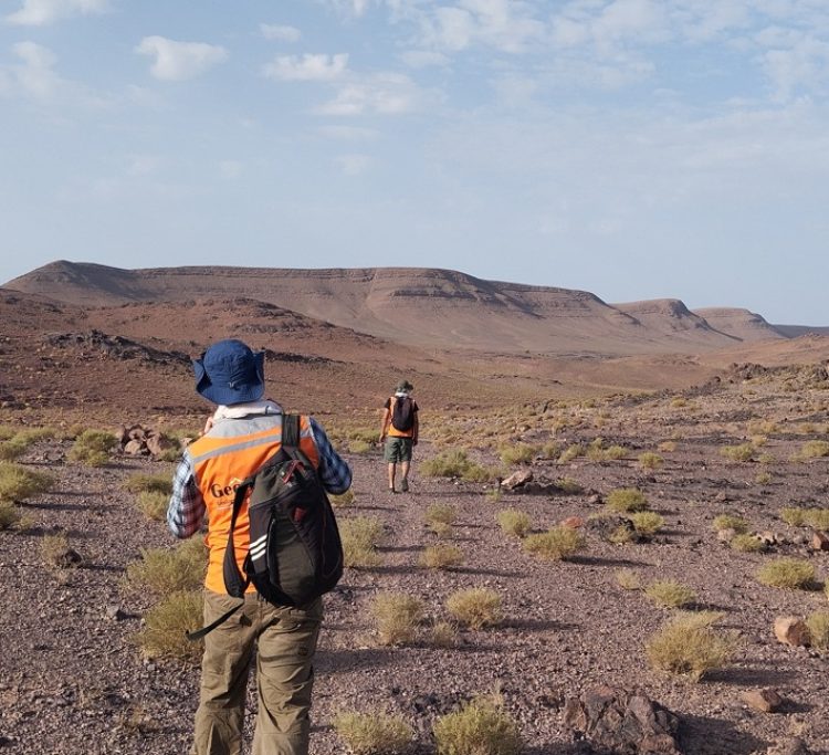
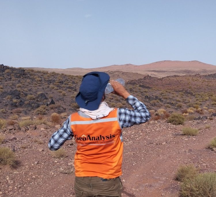
The mining exploration site is located in the Zagora province of Morocco. The aim of the study was to examine the presence of mineral deposits in the area covered by the site, and to determine the type of minerals present, particularly manganese, which is particularly abundant in this region. Several methods were used by the Geoanalysis team to achieve this objective.
The study area is located in the Ouarzazate region, more precisely in the commune of Tanisfte. The site is located in a geological context characterized by ancient formations, notably rhyolites, ignimbrites and dolomites.
To identify potential mineralization, the study used remote sensing techniques, including satellite image analysis. Lineament extraction and GIS studies were used to make a detailed study of the morphology of the area on several sides.
The study also analyzed elevation data, hydrographic networks and vegetation cover in the site area. The analysis indicated that the area features high altitude zones up to 1700 meters and a moderately complex hydrographic network. Vegetation cover was found to be relatively sparse, facilitating satellite exploration. The study also examined various alterations.