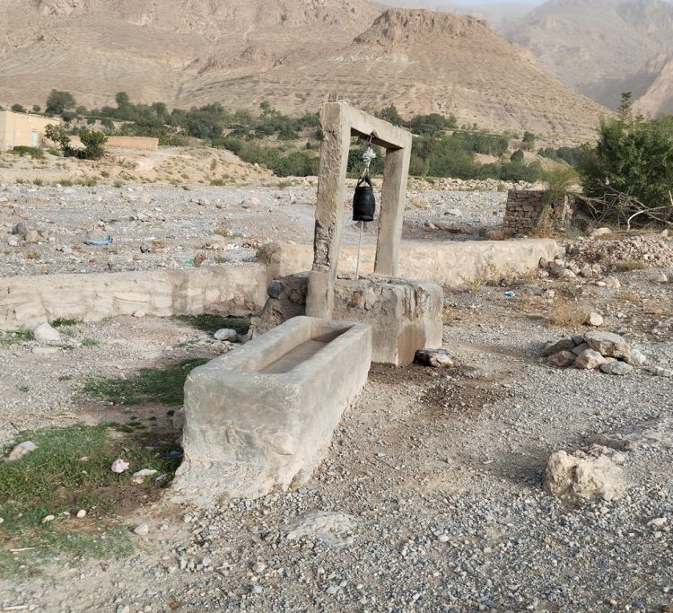
Access to potable water in rural areas of Morocco presents serious challenges, including geographical remoteness, difficult topography, lack of infrastructure, economic constraints, limited water resources, dependence on natural resources, and limited awareness. Several solutions are envisaged, such as drilling boreholes and building wells, implementing infrastructure projects, introducing innovative technologies, raising awareness through educational programs, public-private collaboration, and sustainable management of water resources.
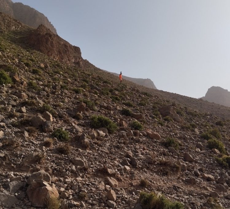
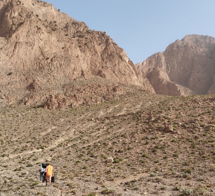
To ensure equitable and sustainable access to drinking water, GEOANALYSIS has been commissioned to carry out a variety of geophysical and hydrogeological projects in several rural communities in Morocco’s High Atlas region, which lies between the Middle Atlas and the Rif in the north and the Anti-Atlas in the south. It extends to the south of the city of Marrakech. Geologically speaking, the High Atlas is characterized by a Precambrian and Paleozoic magmatic and metamorphic basement and a Meso-Cenozoic sedimentary cover. As a result, the terrain is generally more recent as you move from the axis of the range towards the edges.
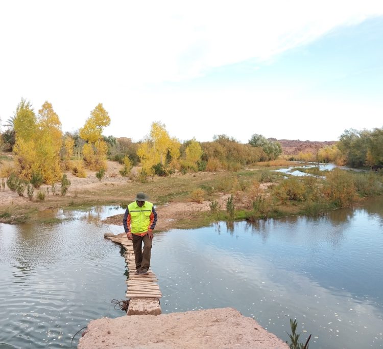
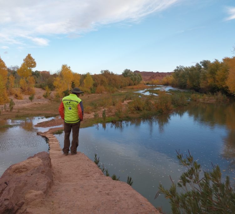
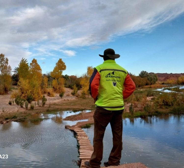
The supply of drinking water in the High Atlas region of Marrakech is a crucial challenge due to the region’s mountainous topography and its major role in the flow of water. Water sources include rivers, streams, lakes, reservoirs, and natural springs, which are essential for downstream communities. The impacts of climate change on precipitation patterns highlight the need to develop adaptation strategies.
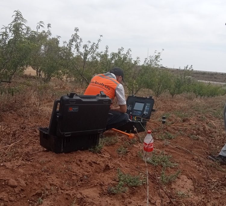
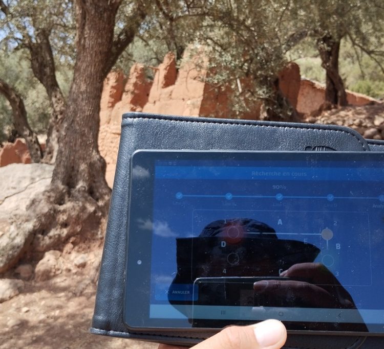
To reduce the risk of water stress in the High Atlas region of Marrakech. GEOANALYSIS’s projects for the exploration of water resources aim to use an effective approach based firstly on mapping and geospatial modelling to gain an overall idea of the geological, topographical, geomorphological, hydrogeological, and climatological characteristics of the area concerned by the study. Followed by a series of field surveys to conduct an in-depth exploration study of subsurface geophysics and collect geophysical data using high-performance equipment that gives precise and accurate information on the depth of the aquifer, the quantity of water and the quality of this groundwater, which necessarily depends on the lithological nature of the ground traversed by the stormwater.
All the exploration techniques used by our engineering and consulting company provide a better understanding of the hydrogeological characteristics and a decision-making guide for the siting of productive wells in several rural communes in the High Atlas of Marrakech.